
dialectometrics:
cartography:
maps based on stochastic clustering or multidimensional scaling
Web application
Also available in Docker
Download
last update: 2020/08/01
R interface
last update: 2014/05/13
Links
research, other software
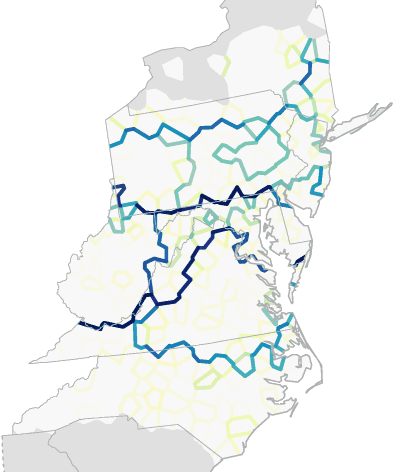
Example: Stochastic clustering (see Tutorial)
Example: Stochastic clustering with multidimensional scaling (see Tutorial)
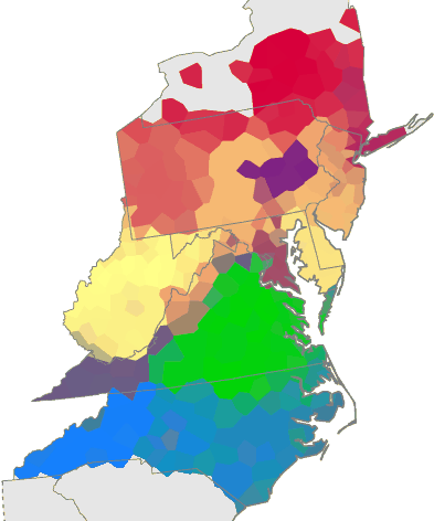
Example: red/green/blue multidimensional scaling (left) and clustering (right)
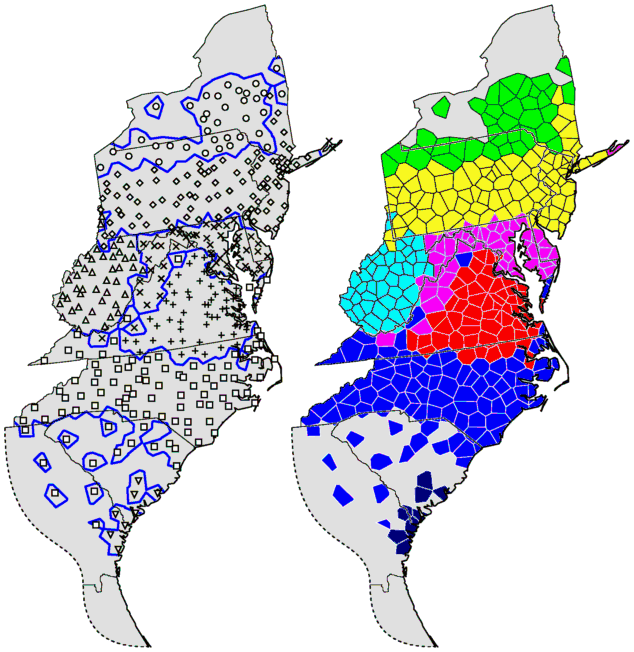
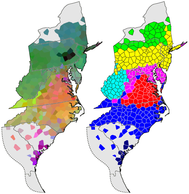
Example: Two methods to display the same clustering.
The image on the left is suitable for black and white printing.
You can select symbols, borders, or both.